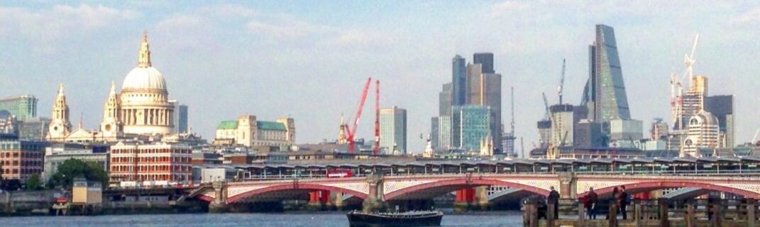

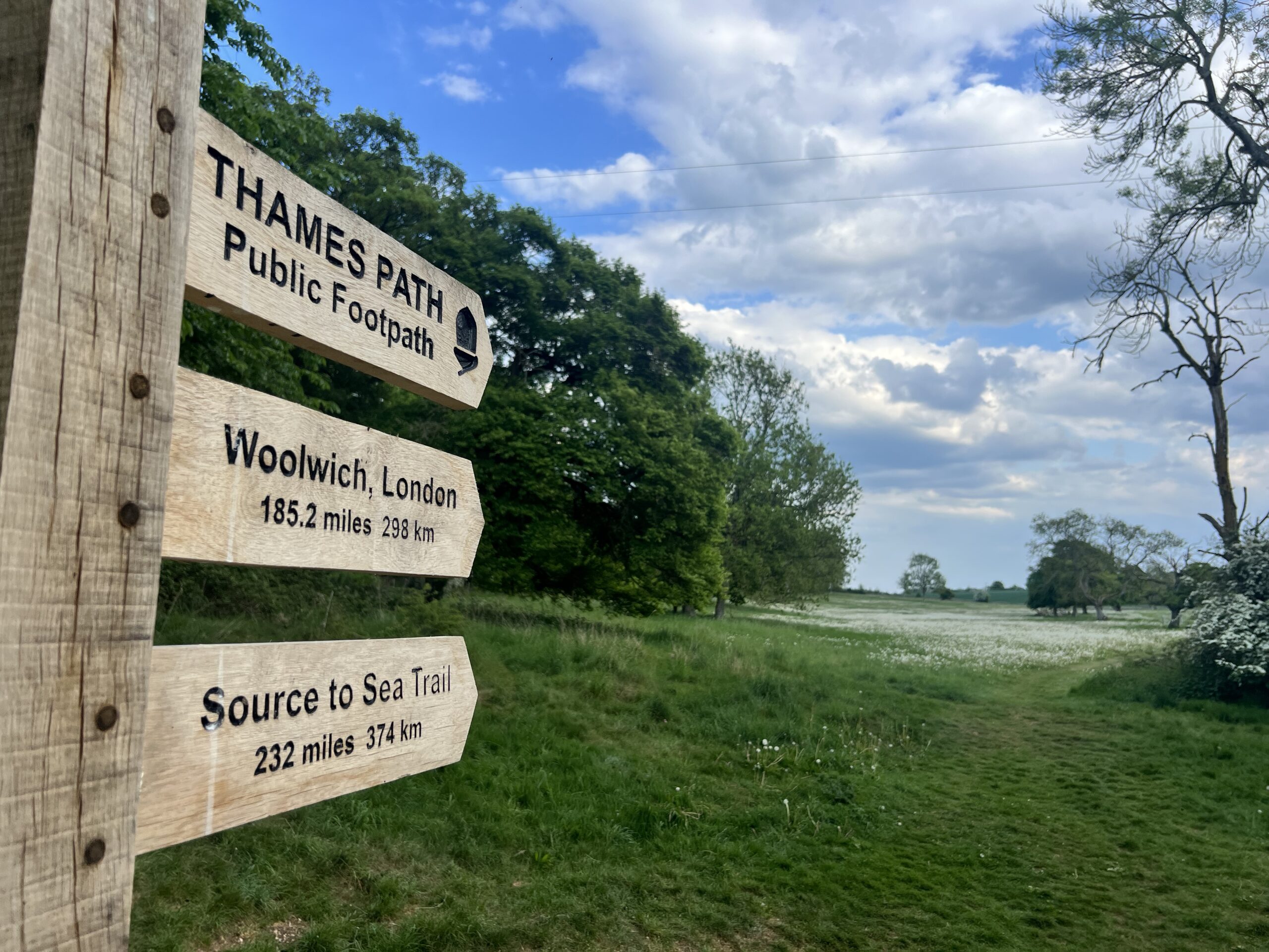
Viewed purely on the facts and figures, the Thames is not one of the great rivers of the world.
At around 215 miles (345km) long it’s not in the top 100 European rivers by length; it’s not even the longest river in Britain (that’s the Severn), but despite this relative fluvial inadequacy it certainly has to be one of the most famous rivers in the world. It is the reason London exists; it was once home to the biggest port on the globe; offerings to Celtic gods were thrown into its dark waters.
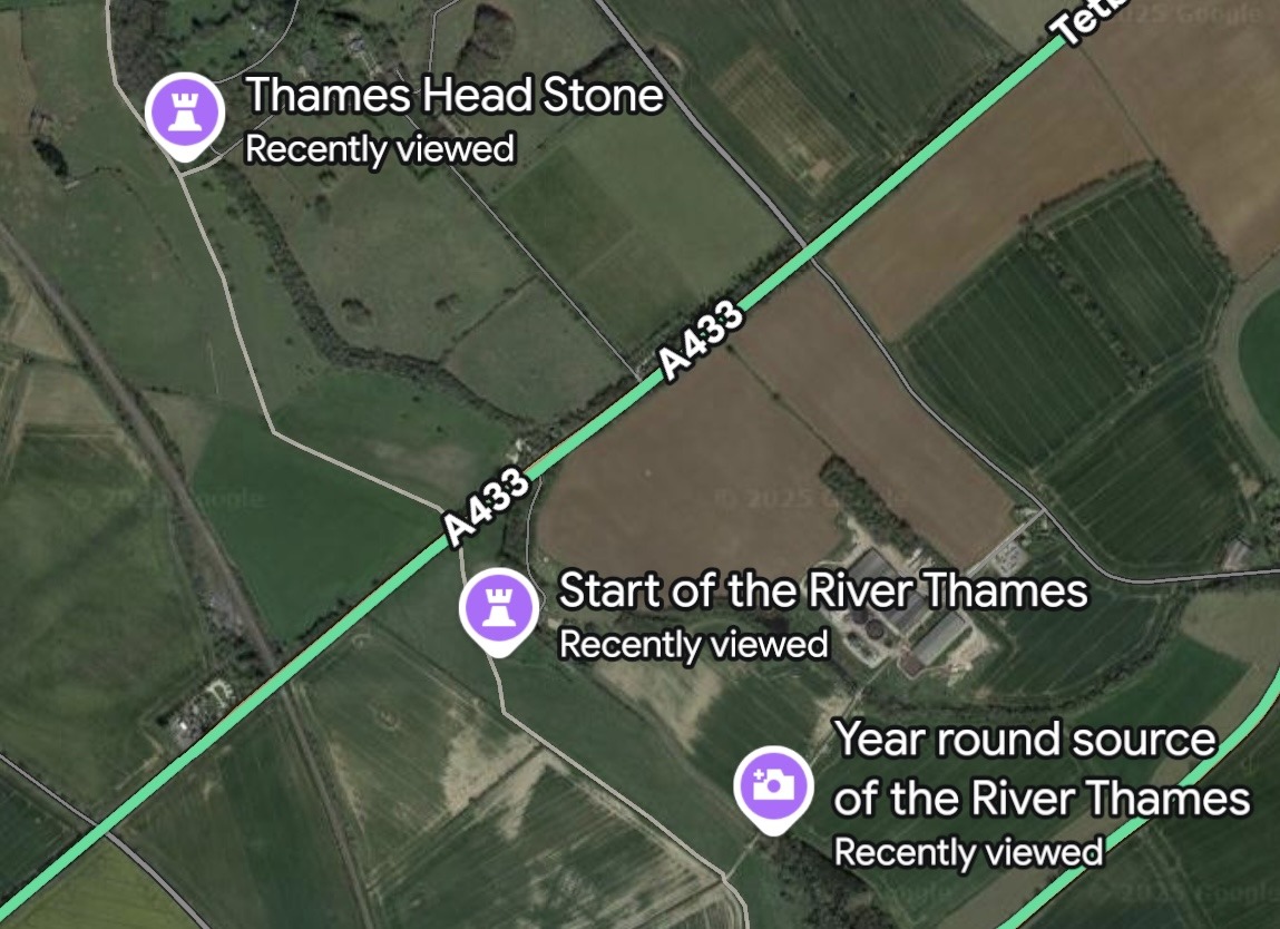
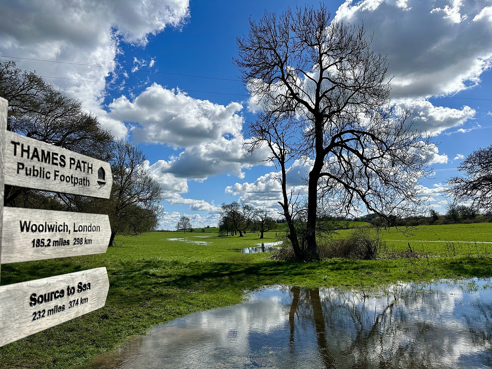
So as I was in Gloucestershire an expedition/pilgrimage to the source of this mighty river seemed necessary. The signs at the Thames Head pub were less than welcoming (“walkers, this car park is for pub patrons only. Park elsewhere”), so I went to the village of Kemble and followed the footpaths through the fields.
Three ‘sources’ are given on google maps (see below) and I went to each in turn, but not a drop of water was to be seen. It has been the driest spring for a century, and the springs are dry, with nothing but stones to mark the erstwhile river bed.
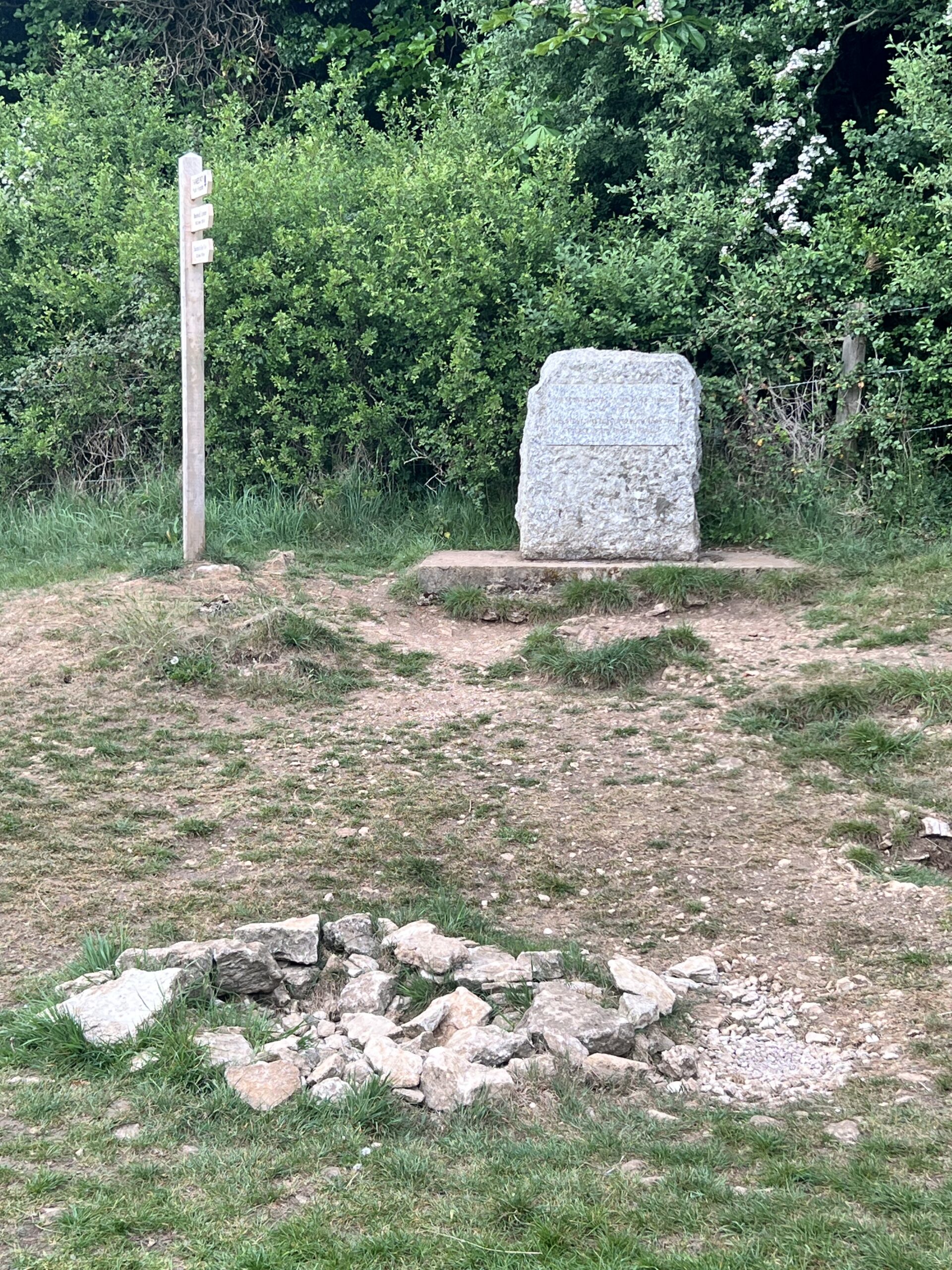
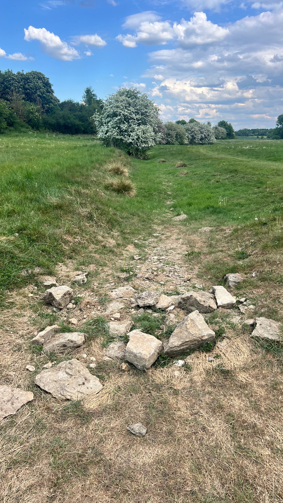
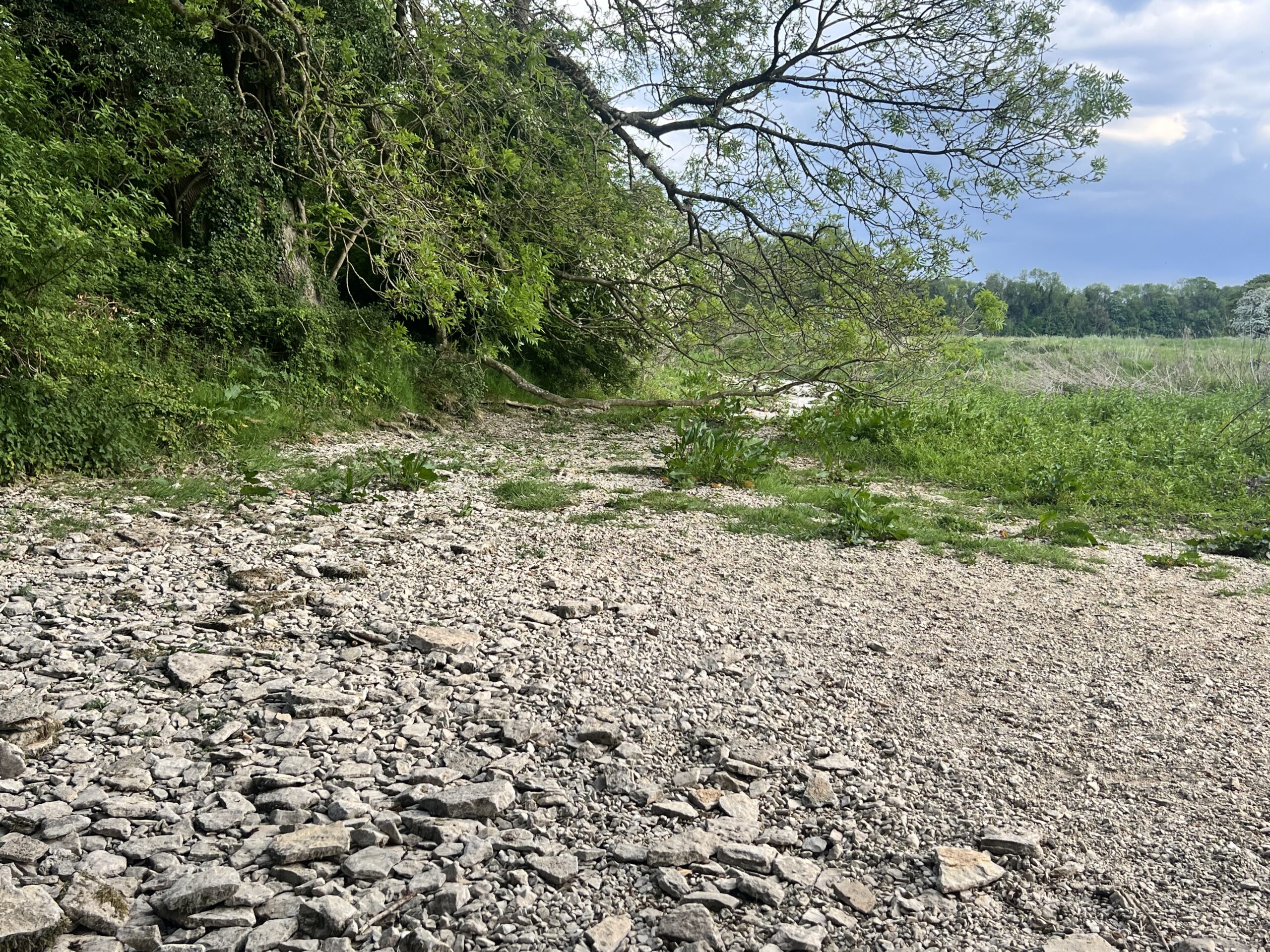
This is apparently not unusual, the “source” being seasonal (or, even, merely traditional); in drought conditions the Thames has been known to start some six miles (ten kilometres) or more from the marker stone that claims to be the initial point of the river.
As someone who has walked and cycled great stretches of the bank, rowed, punted and paddle boarded on the river itself, and even swam in the thing, it was hard not to have a twinge of disappointment that I couldn’t dip my fingers in spring waters emerging from the ground that would eventually flow into the sea, but I feel my visit did pay homage to Father Thames, even if the old man wasn’t quite present at the time.

Leave a Reply